
Für eine deutsche Übersetzung dieser Seite einfach die Brandenburger Flagge anklicken
 |
Click the Brandenburg Flag for a German translation Für eine deutsche Übersetzung dieser Seite einfach die Brandenburger Flagge anklicken |


 |
US National ParksCarrizo Plain National MonumentCalifornia |
 |


|

|
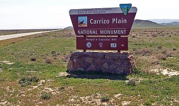
Most National Monuments are managed by the National Park Service. But some are managed by other agencies. During his last days in office, President Bill Clinton upgraded the status of five wilderness areas managed by the Bureau of Land Management by declaring them National Monuments. One of them is the Carrizo Plain, the largest remaining undisturbed native grassland in California. Although now called a National Monument, it is still a wilderness area under the jurisdiction of the Bureau of Land Management. |
|
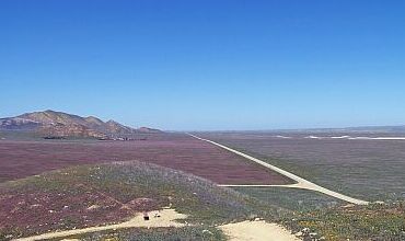 Soda Lake Road |
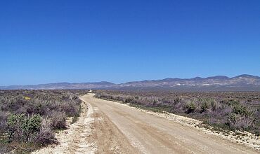 Elkhorn Road |

|
As can be seen in the pictures above, most of Carrizo Plain is really just that: a plain, crossed by two forty-mile-long dirt roads. But there are a number of special features, and during our visit in Spring 2008, we stopped at some of them.
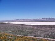
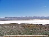
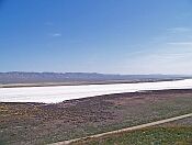
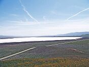
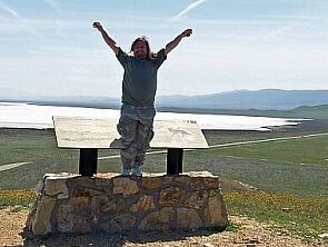
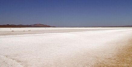
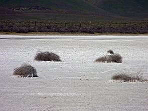
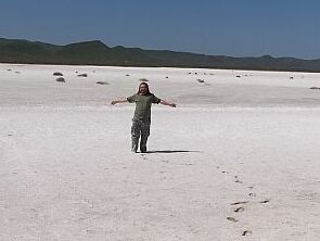
Soda Lake The 3,000 acre large Soda Lake is one of the largest undisturbed alkali wetlands in California. It is the remain of a prehistoric sea and stays dry most of the year, being covered by a thick layer of sodium sulfate and carbonate salts.
To show the full size of Soda Lake, we had to put four pictured together (above). |

 |
 |
 |
|

 |
|
| The best place to see Soda Lake is the top of overlook hill. |


 |
 |
|
|
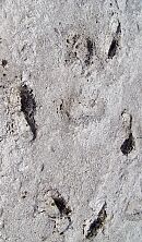
The southern shore of Soda Lake (the one nearest to Soda Lake Road) is protected and off limits, but Simmler Road crosses the lake and allows access to the salt flats. Pretty soon, this hike became pretty muddy and even scary. |


Wallace Creek Trail and San Andreas Fault |
 |
|
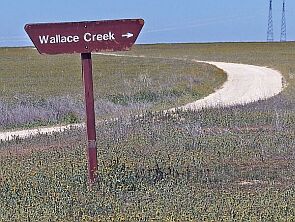
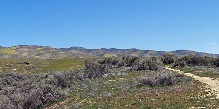
| In the north of the Plain, half a mile from the junction of Simmler and Elkhorn Road is the trailhead to Wallace Creek Trail which leads directly to an old creek bed along the San Andreas Fault. This is one of the best places to learn about this remarkable geological feature. |
|
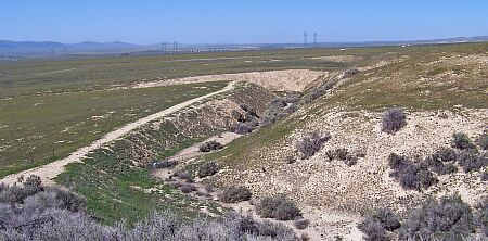
As shown in this picture, there are two sharp bends in this dry river bed.
This is where the San Andreas Fault crosses the river, dividing the Pacific Plate (to your left) from the North American Plate (to your right).
For the last 4,000 years, since this river bed has formed, the Pacific Plate has been moving north 1.3 inches each year, causing this very visible 430 feet long bend. For more information on the San Andreas Fault, check out the Wallace Creek website. |
|


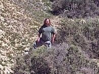
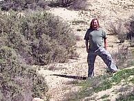
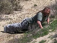
| At the San Andreas Fault |
 |
 |
 |
|
|
One foot on the Pacific Plate Tectonic and one foot on the North American Plate. |
A vain attempt to hold the plates together. But as everybody can see: they still drift apart. |

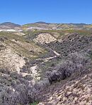
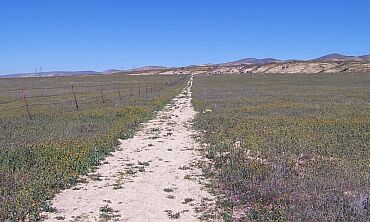 Beginning of the trail |
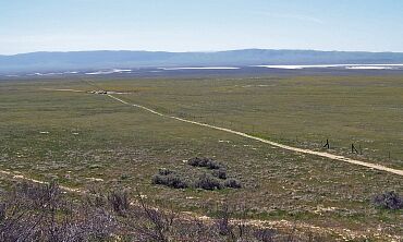 Looking back from the top of the trail |


Wildflowers
Like anywhere in Southern California, spring is a great time to see desert wildflowers! |

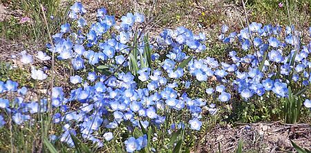 |
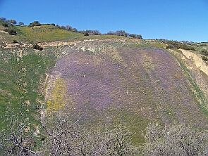
|


|

More Plain
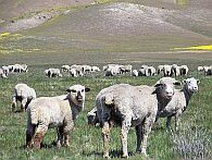
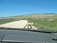
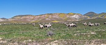
Not much more to say - it really is a large plain. |

 |
 |
|

XXXXXXXXXXXXXXXXA word of caution:This place can get pretty hot! It also can be very windy and dusty. This is not a National Park with park rangers, service stations and telephones at every corner. It is largely undeveloped land, the roads are unpaved, and if your tire flattens, you are on your own. Be prepared; carry food, water and a first aid kit. Watch out for rattlesnakes and don’t disturb the wildlife! |

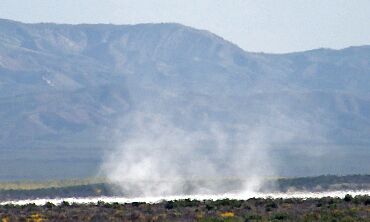 Nature-made dust devil on Soda Lake |
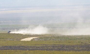 Human dust devil on Elkhorn Road |


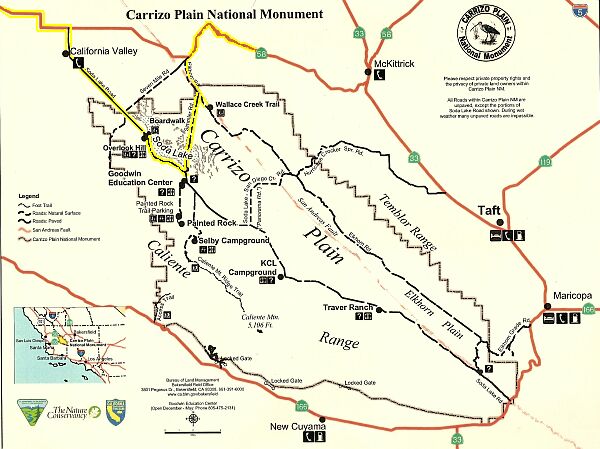 |
Another Word of Advise:  Because of the road conditions, you will NOT be able to cover the entire area in one day!  As shown in the map (outlined in yellow) we only touched to northernmost part of the plain and even that little part (10 miles of dirt road and one mile hike) took about four hours!  |


 Back to National Parks Page |
 Back to California Page |
 Back to English Main Page |
 Back to Start Page |