Für eine deutsche Übersetzung dieser Seite einfach die Brandenburger Flagge anklicken
|
|
Click the Brandenburg Flag for a German translation Für eine deutsche Übersetzung dieser Seite einfach die Brandenburger Flagge anklicken |

 |
Road Trip August 2008Caspar Headland
|
|
 |
Click the left turn sign to get back to the start page or the U-turn sign to get back to the road trips page. |

|
|
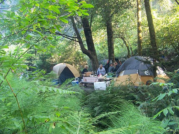
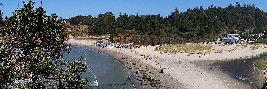
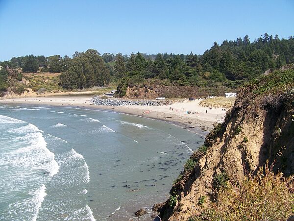
| These pictures of Caspar Headland State Natural Reserve were taken from Caspar South, which lies on a bluff overlooking the ocean. Our campground, the Caspar Beach RV Park is just across the street from the beach (the big blue building). |
 |
 |
|
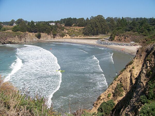
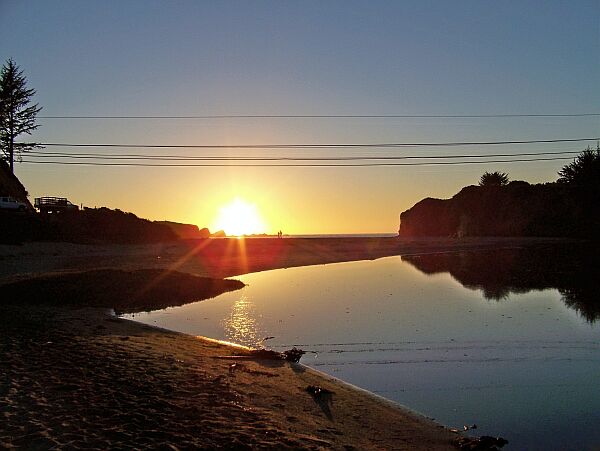
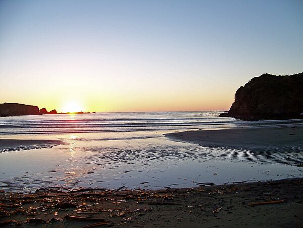
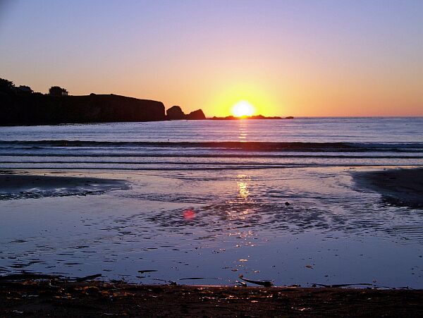
Caspar Beach is also the place where little Caspar Creek meets the Pacific Ocean. The creek, the town and the beach are named after Siegfried Caspar, the first European settler in the area who came here some time before 1860.
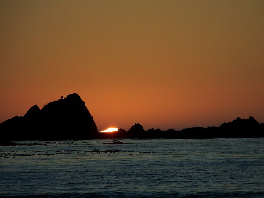
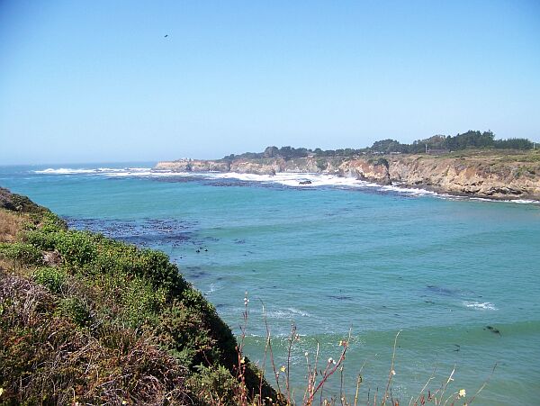
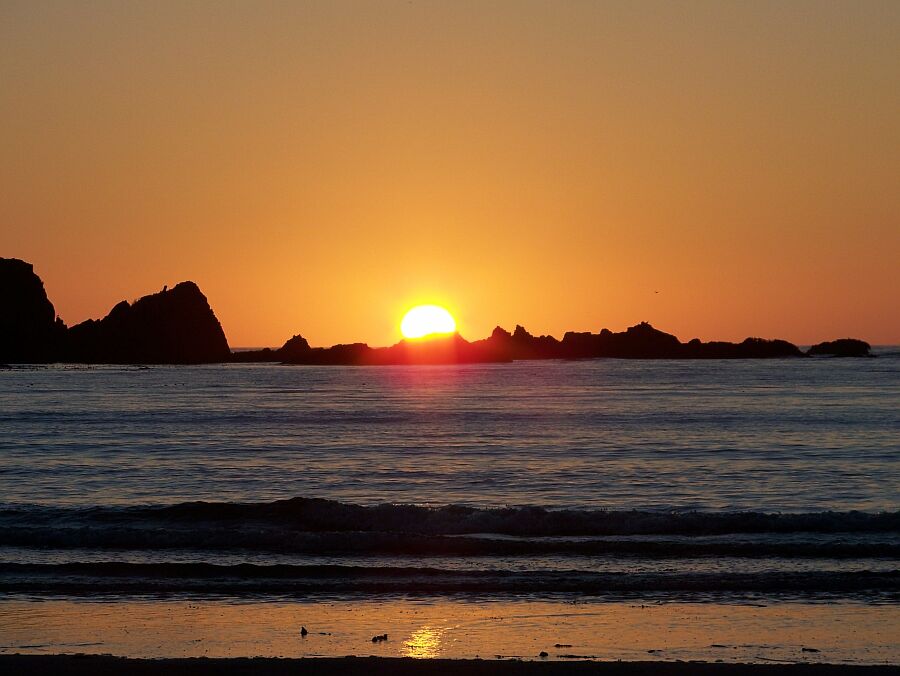
XXXXXXXXXXXXXXXXXLike anywhere along the California coast, the sunsets here are just terrific!
|
|
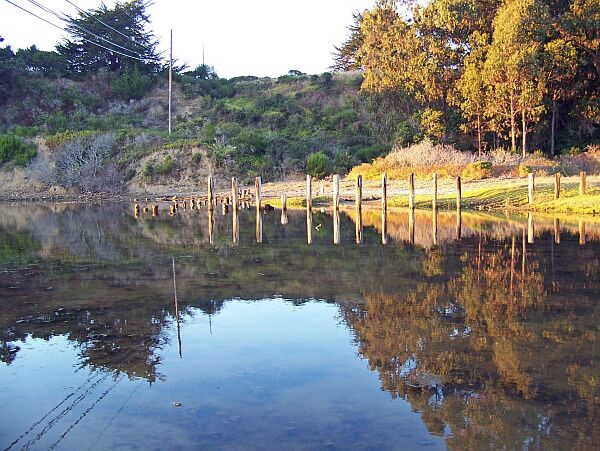
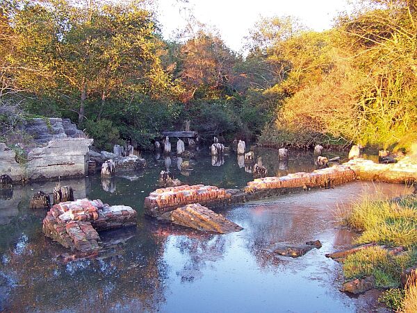
1861, at the height of the logging industry in Mendocino, a sawmill was built just 100 yards from the river mouth. According to an old report, there were 160 men employed at the mill in 1880. A road along the coast crossed the river near the mill. All that changed with the 1906 San Francisco earth quake which wrecked the bridge totally and caused sever damage to the mill. Ruins of the bridge and the mill can still be seen today. |
|
 |
 |

|
|
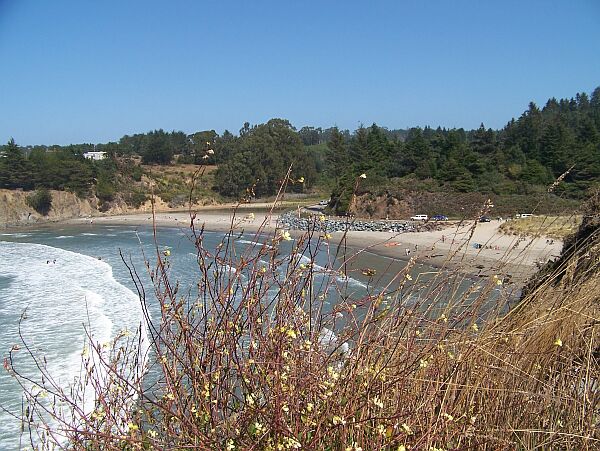
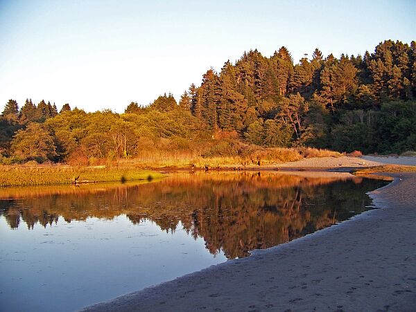
Once the river lost its value to the logging industry,
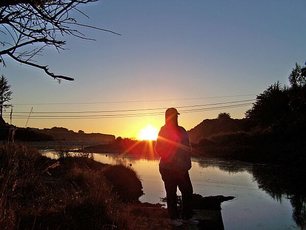
the river mouth complete shoaled and is now only a couple of inches deep. But that makes it perfect for a stroll in the sunset! |
 |
 |
|
|
 Back to Road Trip Aug. 2008 |
 Back to Road Trips Main Page |
 Back to English Main Page |
 Back to Start Page |