Für eine deutsche Übersetzung dieser Seite einfach die Brandenburger Flagge anklicken
|
|
Click the Brandenburg Flag for a German translation Für eine deutsche Übersetzung dieser Seite einfach die Brandenburger Flagge anklicken |

Around Morro Rock are a State Beach, a State Park And a Historical Landmark. We put them all on the same site. |
 |
California State ParksMorro Strand State Beach |
|
 |
 |
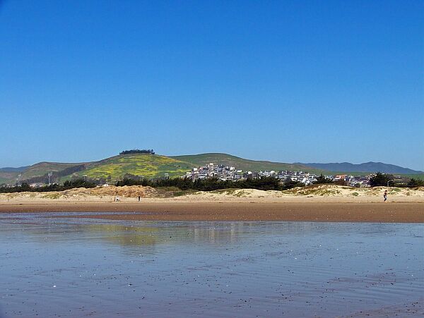
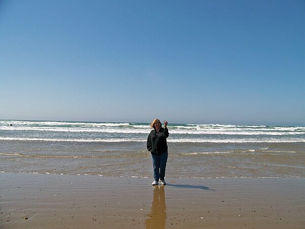
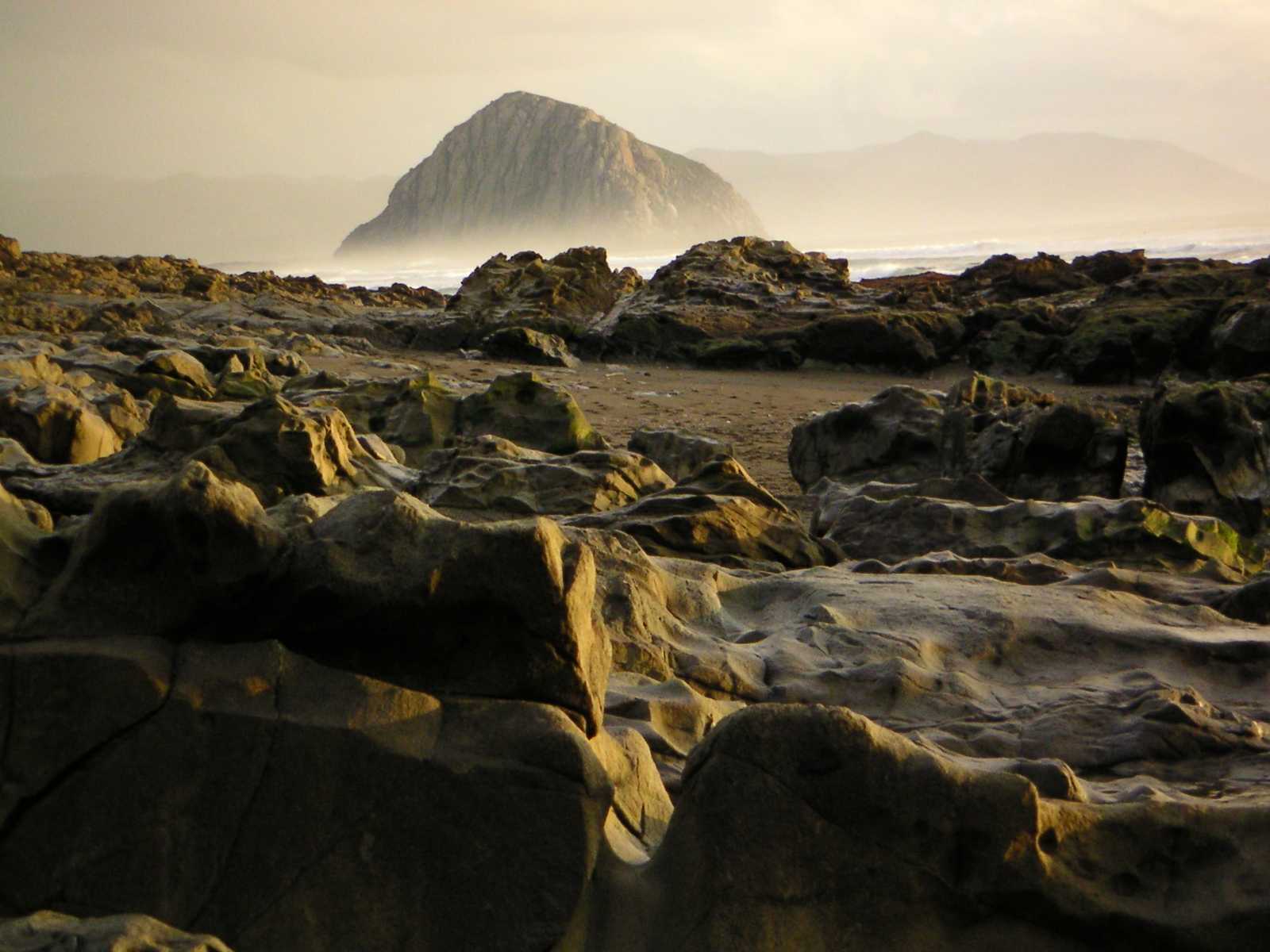
| Morro Beach is a popular hangout for locals and visitors. It is one of the best places to admire Morro Rock. |

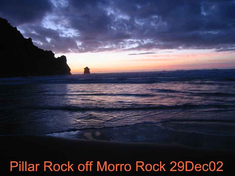
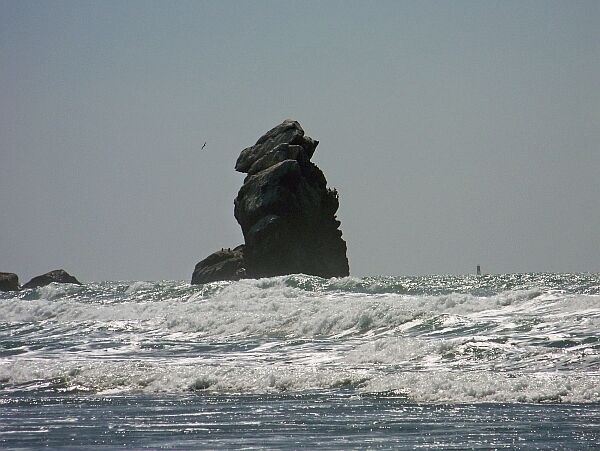 Pillar Rock in front of Morro Rock
 |
 Judy just found a sand dollar!
 |
 Here it is
 |
 |
 |

|
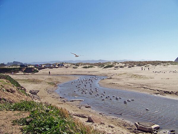
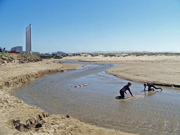
| Tiny Morro Creek empties into the Pacific Ocean at Morro Beach. It is a safe place for kids to play and a habitat to many waterfowl. |
 |
California State ParksMorro Bay State Park |
|

|
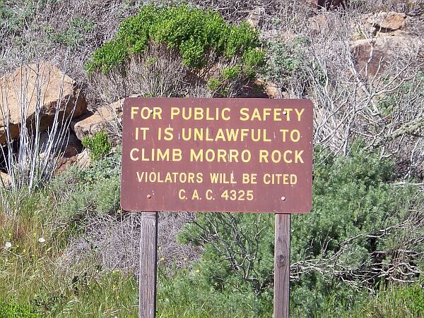
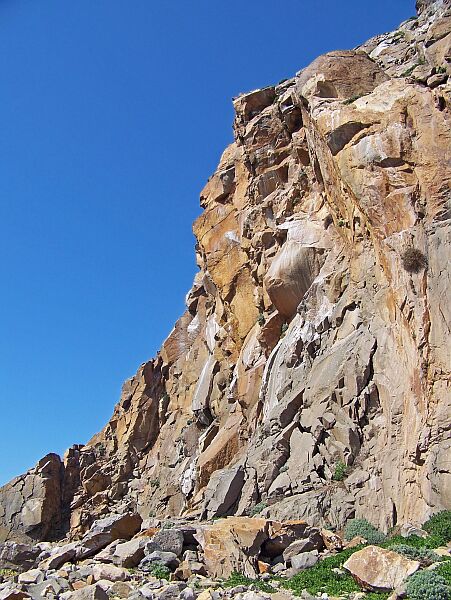
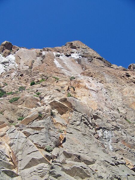
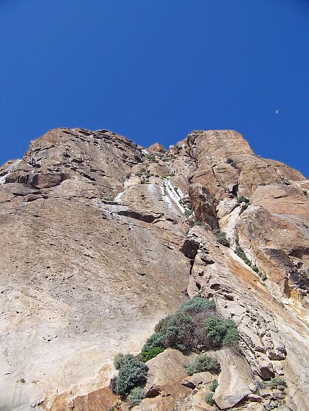
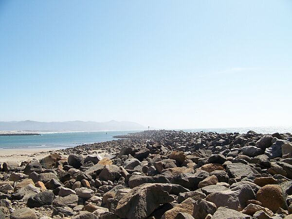
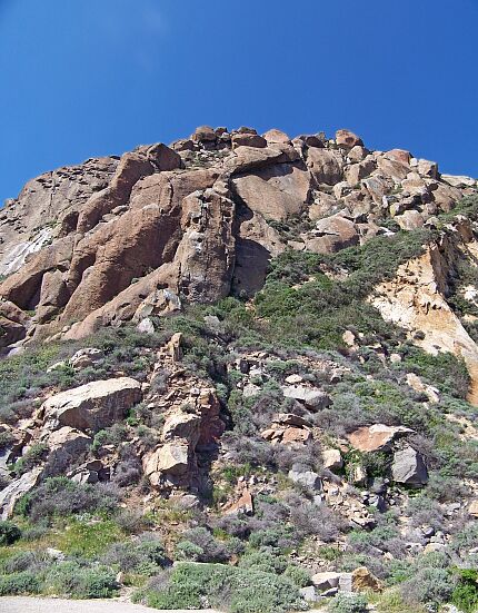
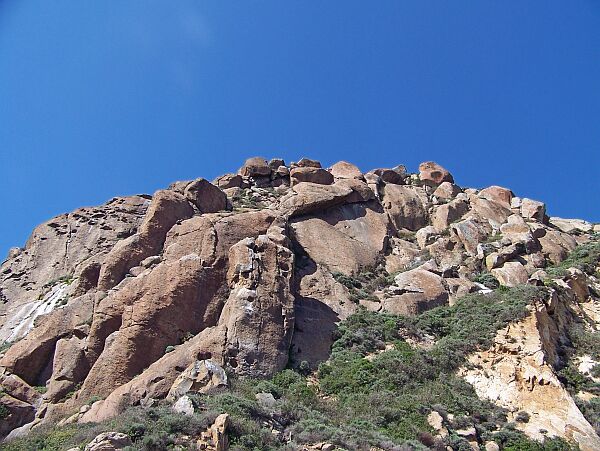
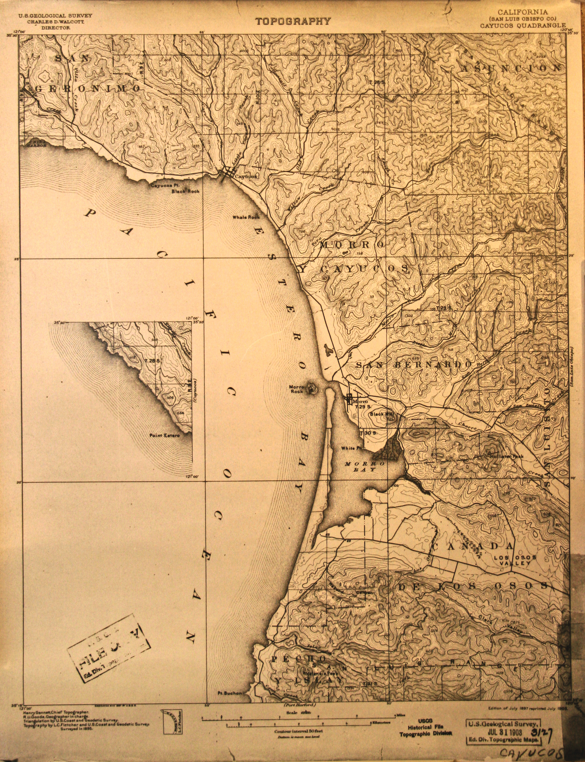
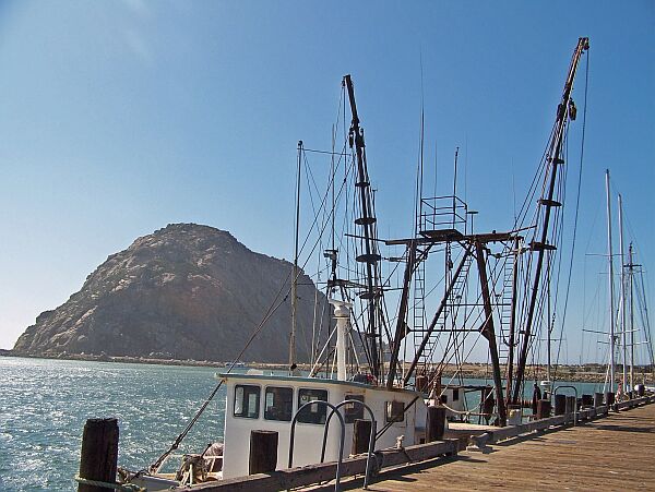
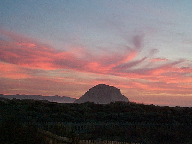
As the name suggests, Morro Bay State Park is located along Morro Bay in Central California. Its outstanding feature is Morro Rock, a spectacular 23 million year-old, 576 foot tall volcanic plug. The rock is one of the sacred sites of the Chumash People, the only people who are allowed to climb it once a year. During their solstice ceremonies, a small, selected group will spend the longest night of the year on top of the rock. For everybody else, the rock is off limits, mainly to protect the Peregrine Falcons that have their nest on top of the rock but also because climbing it is actually very dangerous due to a lot of loose rock. The Breakwater for Morro Bay Harbor (pictures below) is made entirely from rocks that fell off the big one. That should really show how dangerous it would be to try to climb it. |
|
|

|
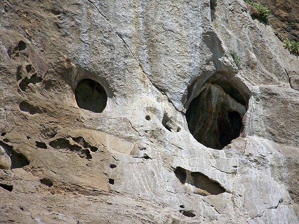
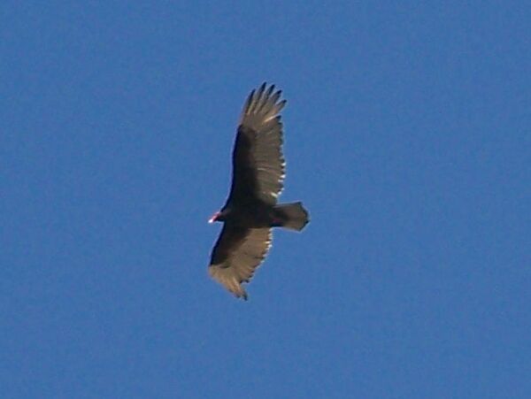
| We didn't see a Peregrine Falcon, but we spotted some nesting holes, a nesting seagull and some kind of buzzard circling the rock. |
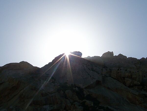
Looking up 576 feet to |
|
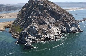 |
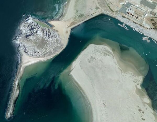
Here are two pictures to demonstrate the dimensions of this rock.
To the left is an aerial picture
To the right is a satellite image |
|
 |
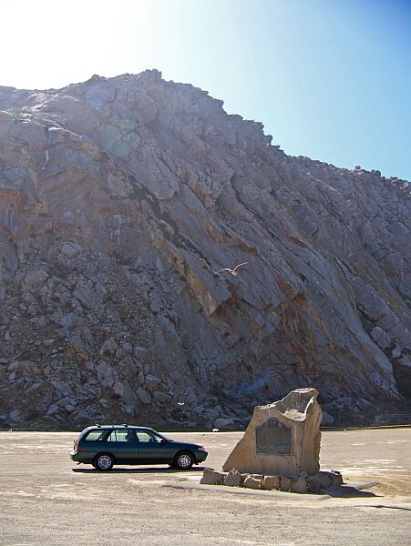
California State Historical Landmark No. 821 |
|
|
|
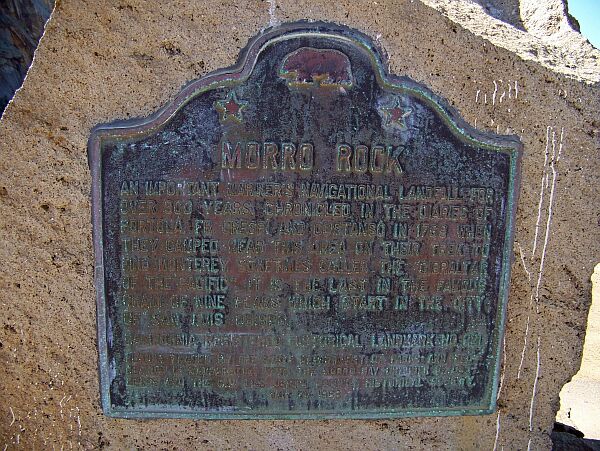 |
XXXXXXXXXXXXMORRO ROCK An important mariner's navigational landfall for over three hundred years, Morro Reef was chronicled in the diaries of Portolá, Fr. Crespí, and Costanso in 1769, when they camped near this area on their trek to find Monterey. Sometimes called the 'Gibraltar of the Pacific,' it is the last in the famous chain of nine peaks which starts in the city of San Luis Obispo. |
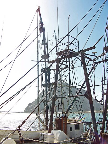 |
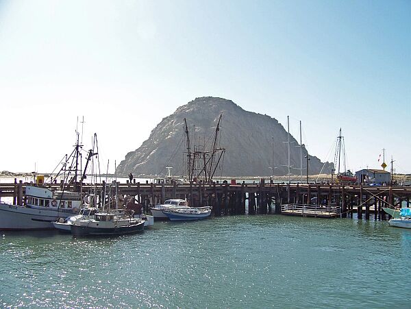
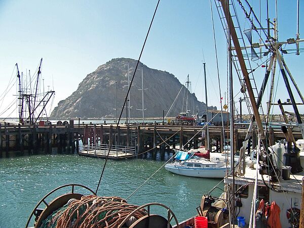
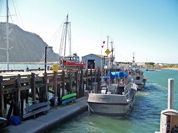
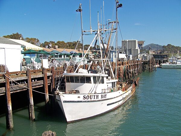
The first European to describe and map the rock was Juan Rodriguez Cabrillo, "discoverer" of the California coast in 1542. He called it "El Morro", Spanish for Pebble. The first Europeans to actually set foot on the rock were Miguel Costanso and Father Juan Crespi during the 1769 Portola expedition. Today, the rock is a popular tourist spot. One can get pretty close to it, but it looks more spectacular from a distance. We recommend Morro Bay harbor as the best place to see it in all its beauty. |
|
 |
 |
|
 |
 |
|
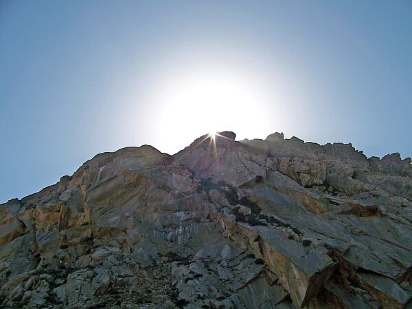 |
We were trying to catch the sun on top of Morro Rock Others had more luck and we found some incredible pictures at morro-bay.com. The three pictures below are from that site, but there are a lot more. Check it out! |
|
 |
 |
|
 Back to CA State Parks Page |
 Back to California Page |
 Back to English Main Page |
 Back to Start Page |